
Technology Report
October 11, 2026
iSAR
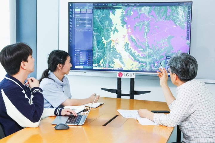
SEOUL — When a lost hiker’s phone has no GPS fix, or has been switched off, the network that phone last talked to still keeps a record of it. On October 11, 2026, South Korean carrier LG Uplus announced that it had used that record, together with its own knowledge of how its radio signals spread over mountain terrain, to shrink a simulated mountain search area from about 707 square kilometers to about 4. The analysis ran on iSAR, the Intelligent Search Assistance System built by SOLVIT System, a Korean radio-wave analysis firm whose name Aju Press renders as Solbit Systems.
What is new is who ran it. iSAR itself is not new; SOLVIT says Korean fire and disaster authorities have used it since 2024. This time, a mobile carrier ran it. A carrier holds exactly the inputs the method depends on: where each base station sits, which way each antenna points, and which phone connected to which antenna, and when. The demonstration took place around Unjangsan (Unjang Mountain) in Jinan County, North Jeolla Province. It assumed the two situations in which phone location usually fails: no GPS signal in the mountains, or a phone with its power off.
The starting point is the method rescuers fall back on today. A base station is the radio site, usually a tower or rooftop mast, that a phone connects to. Without a GPS position, the most that is usually known is the last base station the missing person’s phone reached. In the Unjangsan case, drawing a 15-kilometer circle around that station gave an estimated search area of 706.86 square kilometers.
iSAR narrowed that in two steps, according to the companies. A base station’s antennas usually point in several directions, and each covers a wedge of ground called a sector. Mountains block and bend radio waves, so the ground a sector actually reaches is patchy. Modeling the station’s location, its antenna directions, and how far its signal reaches over that terrain cut the area to 45.94 square kilometers. Adding the phone’s time-stamped connection records, the network’s log of which station and sector the handset used over time, cut it again, to 4.13 square kilometers. LG Uplus puts that at a reduction of about 99 percent. Those figures are the companies’ own, from a simulation they ran and described, and no independent test has been published.
SOLVIT’s product material describes the underlying method in more detail. It says iSAR first analyzes radio quality for each sector of the last connected cell, separating the area the signal covers from the radio “shadow” where it does not. It then removes parts of that shadow area that neighboring cells cover, since a phone there would have connected to a different site. Finally, it uses a model of how far a person is likely to have moved in the elapsed time, based on personal factors such as age, health, and experience, and on slope, trail width, and weather, to pick a priority search area. The company says it can also apply time-series inference, built on Monte Carlo localization and the mobility model, to the sequence of cells a phone used. Monte Carlo localization is a statistical technique that tests many candidate positions against the evidence. SOLVIT says the process is automated and needs nothing except the missing person’s phone: no special app or device.
The company comes to rescue work from defense. Korean coverage, including Newsis and Munhwa Ilbo, describes SOLVIT as a specialist in radio-wave analysis and simulation for the military that is expanding that work into civilian disaster and rescue. iSAR was a 2025 CES Innovation Awards honoree in the Smart Communities category. Korea’s Ministry of Trade, Industry and Energy designated it an innovation product, and SOLVIT says it went into service with Korean fire and disaster authorities in April 2024. In that earlier material, the company claimed iSAR could cut a priority search area to as little as one twenty-fifth of the conventional size, and produce a result in about 10 minutes, against roughly three hours for manual analysis by experts. The companies did not say how those earlier figures relate to the Unjangsan numbers.
“This demonstration is a meaningful case confirming that communication data can be used to protect customers’ lives and safety in situations of distress or disappearance,” said Lee Sang-heon, head of network pre-development at LG Uplus, according to Aju Press’s English translation. He said the company would keep validating the technology so customers can get faster rescue support.
For now it is a test, not a service. LG Uplus and SOLVIT say they plan more trials to check how accurate and practical the technique is, and will look at how it could be built into the search-support systems of Korea’s emergency rescue agencies. The announcement did not say when that might happen, what network data would be shared, or under what legal process. Businesskorea and Chosun Ilbo also reported the demonstration.